
From Static to Strategic: New Maps to See Emergent Possibility
How shifts in borders and barriers shape strategic advantage.

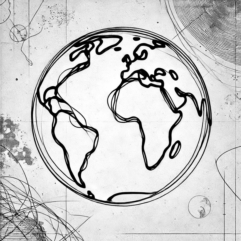
How we perceive the world can fundamentally shape our strategic decisions. For many, geography defines our understanding of where we stand and where we’re headed. It’s easy to view the world as static, identifying with maps that show fixed borders and political boundaries. The classic political world map highlights nations, sovereign states, and dependencies, drawing a picture of a world that seems well-defined. Despite occasional adjustments, including the recent change to the border of the Swiss-Italian Alps due to melting glaciers1, this view remains largely stable.
Today, the United Nations counts 193 sovereign states as members2. Yet these borders, while significant, don’t capture dynamic changes reshaping our future.

The Political World Map
Source: https://www.nationsonline.org/oneworld/map/world_map.htm
Beyond this relatively static picture is a new way of seeing the world - one that focuses on connectivity, movement, and transformation. Emerging maps are beginning to illustrate these shifts, revealing patterns that are more relevant to the world as it is becoming, not just the world as it is.
The Connectivity Atlas: Mapping a Networked World
Infrastructure - whether it’s roads, pipelines, or internet cables - plays a crucial role in shaping our economies, identities, and commercial opportunities Traditional political maps show where borders divide, but rarely do they depict the complex networks that unite us. The Connectivity Atlas breaks away from this static mold, providing an interactive map of our global infrastructure3.
This atlas, a collaboration between DevelopmentSeed, the University of Wisconsin-Madison Cartography Lab, and Dr. Parag Khanna, is an online tool that invites us to explore how our world is interconnected through its physical networks. As shown below, roads, railways, pipelines, and communication lines form the veins of our global civilization, influencing our vulnerabilities and shaping how we relate to one another.

The Connectivity Atlas, highlighting communication, energy, and transportation infrastructure
Source: https://developmentseed.org/connectivity-atlas/about/
Khanna’s book, Connectography: Mapping the Global Network Revolution, explores this idea further. He states, “Human society is undergoing a fundamental transformation by which functional infrastructure tells us more about how the world works than political borders. The true map of the world should feature not just states but megacities, highways, railways, pipelines, Internet cables, and other symbols of our emerging global network civilisation.”
This perspective urges us to look beyond the lines on a map and understand the web of connections that are redefining our interactions, our economies, and our future.
The Open Buildings Initiative: Reimagining Urban Growth
In September 2024, the United Nations and Google unveiled a groundbreaking tool -the first high-resolution map of building footprints and heights across Africa and the broader Global South, updated annually from 2016 to 20234. As urban populations swell, with an estimated 2.5 billion more people living in cities by 2050 (primarily in Asia and Africa), understanding the scale of urbanization becomes crucial.
The Open Buildings dataset began in 2021, significantly improving the visibility of mapped structures across Africa. Its expansion to Latin America, the Caribbean, and South and Southeast Asia provided crucial data for governments, humanitarian bodies, and researchers to plan infrastructure, disaster response, and development projects.

The Open Buildings 2.5D Temporal dataset, highlighting construction of New Cairo, Egypt
Source: https://research.google/blog/open-buildings-25d-temporal-dataset-tracks-building-changes-across-the-global-south/
Now, Google’s Open Buildings 2.5D Temporal Dataset goes further, estimating changes in building footprints and heights across these regions. This tool offers insights into how urban landscapes evolve, helping organizations respond more effectively to growth, crises, and long-term development needs. It’s a resource that, in a connected world, leaders everywhere, with just an internet connection, can leverage.
Turning Shifts into Strategic Advantage
Seeing these shifts is one thing; making sense of them is another. For leaders, adapting to a changing global landscape requires more than just data - it calls for a mindset that embraces possibility.
Here are three practical steps to turn insights into strategic advantage:
Engage in Futures Thinking: Invest time in exploring multiple scenarios for your organization, industry, and region. Anticipate not just what could change but how that change might shape opportunities or threats. Futures thinking is not about predicting but preparing - enabling leaders to stay flexible and ready to act when shifts occur.
Map Your Own Networks: Just as the Connectivity Atlas reveals the invisible links shaping our world, leaders should map their own networks. Understand not just the obvious connections but the less visible ones - those that link your organization to emerging markets, new technologies, or potential collaborators. These links might be the pathways that lead to your next breakthrough.
Use Open Data to Inform Strategy: Access tools like the Open Buildings dataset to understand demographic shifts, urban growth, and infrastructure changes. Use this data to identify where future customers, talent, or investments might come from. Leaders who leverage open data can make informed decisions that stay ahead of the curve, instead of simply reacting to change.
There is more to the world than what we see.
How we see the world can be our greatest source of strategic edge.
The world is not static, and neither should be our perception of it. Leaders who embrace this fluid view of global dynamics will be better positioned to find their strategic edge and shape outcomes that positively impact people and the planet.
How do you see the world?
Is it enabling you to make sense of the changes as they emerge?
Further Reading
Khanna, Parag. Connectography: Mapping the Global Network Revolution. Orion, 2016. (link here)

https://www.bbc.com/news/articles/cgk7r0rrdnmo
https://www.un.org/en/about-us
https://developmentseed.org/connectivity-atlas/
https://research.google/blog/open-buildings-25d-temporal-dataset-tracks-building-changes-across-the-global-south/
Sophie, this was so insightful!
I’ve studied Geospatial Intelligence at my post graduate Intelligence Management degree. As soon as I went to my first job to pay for studies and work, I had to do a LOT of HORECA market prospection in a country where I wasn’t, meaning I had to look a lot at maps.
I then started to create Google My Maps maps with leads. Eventually that was being so helpful, I suggested all my other (30) colleagues from Portugal to do it - and eventually that got developed into a sales force add-on.
So indeed the power of the “birds-eye” view is so important and fundamental for accurate decision making!
Very insightful, thank you and enjoy your day!